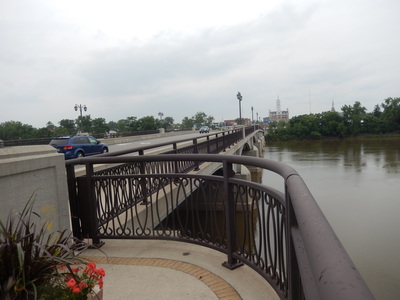
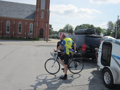
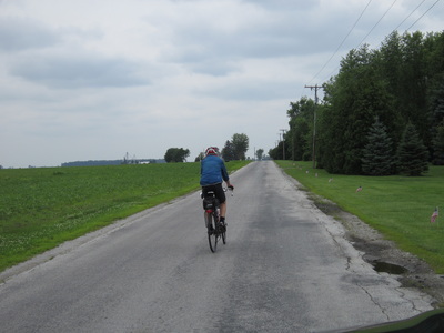
It was a beautiful spring day as I began the ride in Clyde Ohio this morning. And then as many spring days in April are, it became cool in the 60's and IT STARTED TO RAIN!! But wait, it’s JULY. Where did summer go? I know we’re all tired of this wet July so I’ll just gut it out and proceed.
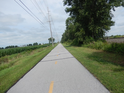
This morning. when I started, I took the North Coast Inland Trail for 7 miles from Clyde, Oh to Fremont, Oh. Beautiful trail that extends further than I needed it. It runs alongside the Whirlpool plant and then out into the country. Very safe, flat, paved and the site of my first crash in 10 years. I’m OK but when I was coming up behind two guys who were riding side by side I called out "on your left" as is customary when approaching another rider. I was doing about 17 mph and the guy got confused. Just as I was pulling up next to him he pulled out in front of me striking his back wheel against my front. Down I went but I got my chalkboard writing hand out to protect me before I hit the ground and so my fragile Irish frame did not take the impact. After years of building up the strength and endurance in my right arm and hand from writing on the boards, they are indestructible. Padded gloves help too. We exchanged pleasantries, everyone was OK and on I rode.
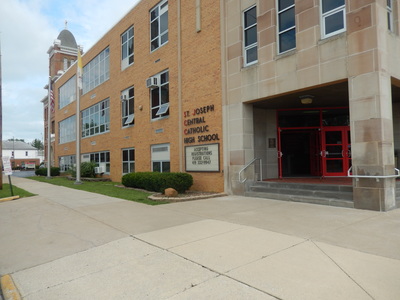
When I got to Fremont I rode right by the Hayes Presidential Library. The history teachers will have to fill us in but wasn’t Hayes from Fremont, OH? Right down the street from Hayes' Library is a Catholic High School, St. Joseph's. Not as impressive as Marist though.
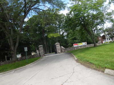
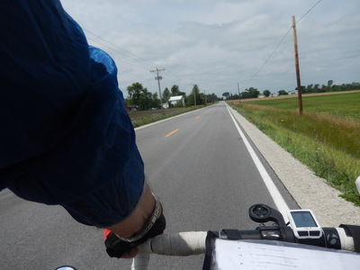
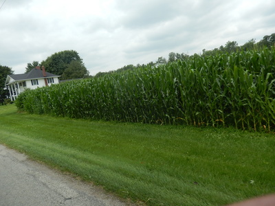
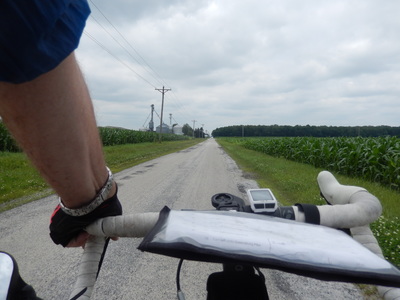
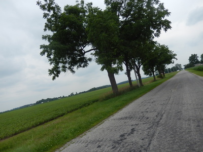
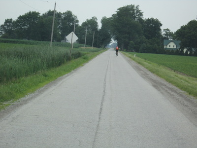
It’s always tricky getting through these small towns. With the lefts and rights and streets with different names, detours, "advice" from the locals, it can be daunting to escape the confines of small town America. Once out into the country again, the roads that are good for bikes tend to be long runs without interruption. But today I rode a road that was perhaps the longest, straightest, flatest, smoothest road I’ve ever ridden. It must have gone on for 30 miles. Now that’s good for directions and getting from point A to point B or even from point C to point D assuming there is no other significant point between C and D but it does get boring. A little bit of ups and downs, some curves along the way, maybe even some tough hills add a little flavor to the ride. So also the ride of life.
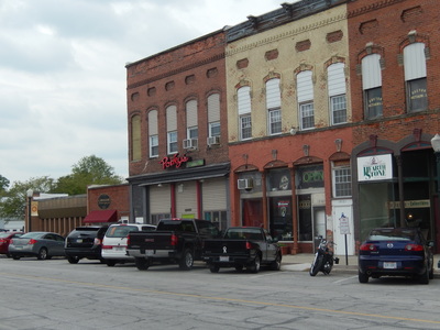
Eventually, I met up with Carlin in the town of Weston, OH. Carlin pulled up the Little Guy in front of an abandoned store on the Main street. Unfortunately, she had her pick of abandoned stores to choose from. But luckily, one restaurant, namely, Porky’s Pizza Trof, was open for business. But not until 3:00 P.M. It wasn’t quite 3:00 P.M. so another first for this trip, it was time for me to climb into the Little Guy and get 15 minutes of shut eye. Oh, I love the Little Guy, it’s so comfortable, even on the streets of an Ohio town.
We had lunch and were on our way again. As we approached Napoleon, OH it began to rain. Temperature dropped to the mid 60's and I was not pleased. But on we went ending the day with 73.2 miles of cycling and a high speed of 22 mph.
We had made reservations for a campsite at Sauder Village outside of Archbold, OH for the night but with the rain and cold we upgraded to a room inside the Sauder Inn. We went out to dinner at the restaurant where the women are all dressed in authentic costumes from the Sauder era. I guess. I don’t know, they were not dressed from the 20th or 21st century.
Some of you have asked how I figured out the route. Well, Google maps has been of great assistance. I’m not sure how it could be done without it or sites similar to it. Google maps has a great feature where you can indicate that you want to ride a bike and it will change the route for you, sometimes offering several different options of varying miles. What I then did was click onto some of the routes where I can drop down onto the road to see what I’m getting into. I can see features that can be of concern to me. Is there a shoulder, is there traffic, what’s the size of the shoulder, can I see how rough the road is, are there yellow lines, white lines, any lines indicating the type of traffic on the route? I use that information along with old fashioned maps and particularly Delorme Atlas & Gazetteer which has detailed road maps of each state. Put it all together with a need to vary the route each day and I’m all set. I have my printer with me in the Little Guy and I hook it up to the laptop to print up day to day variations to the map. Then Carlin and I spend some time each night going over the maps to see what we’re getting into the next day. Then with all of that planning I’m out on the road and I find construction, detours, more traffic than anticipated, more potholes than desired and changes have to be made. It’s been a bonding experience for Carlin and I when I’m in a town planning to reconnoiter with her at a specific point and I can’t find her and she can’t find me. Did she go home? Of course not, she’s my navigator and I couldn’t find my way without her. Even on the bike trip.
Tomorrow, we’re heading to Mongo, Indiana. Initially, I was going to go to LaGrange, Indiana but accommodations and the need to say that I had been in Mongo, Indiana made me change the destination for the night. How can you not want to visit a place called Mongo?
Total miles cycled to date: 784.3 or 784.3/1004 =78.1% of total distance.
Total climb to date: 20,057 feet or 20,057/22,229 feet =90.229% of total climb.
Ok, enough of this. There will be a test on this tomorrow.
